I’m experimenting with metabase and trying to build a map visualization, but ran into these issues:
For the country map, I guess metabase is assuming there is a column called “country” with the value in ISO 3166-1 Alpha 2 format. Am I able to tell metabase the name of the column? I already have a column “country” which is in a different format.
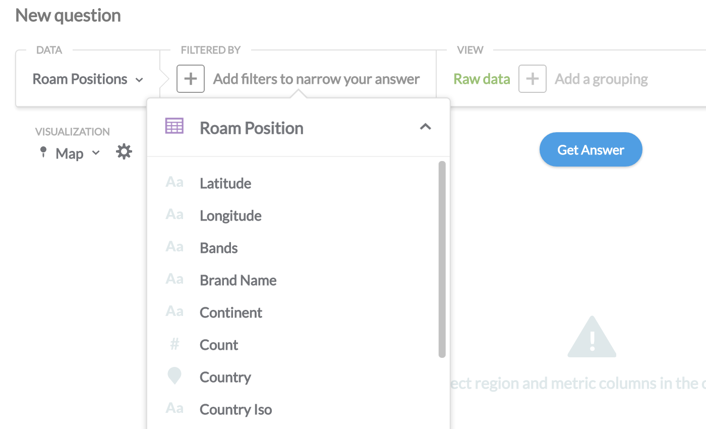
For the PIN map, I would like to use the spatialdimensions I defined on Druid, however, these don’t even show up on the “Filter by” list. Does metabase ignore Druid’s spatialdimensions?
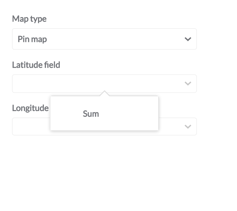
If spatialdimensions cannot be used, can I tell metabase which dimensions to use as LAT/LON? I have 2 sets of coordinates per row.
Am I able to center the map on a different country? My data points are in Portugal.
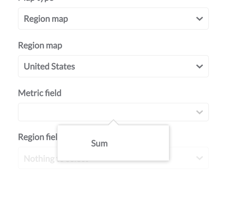
Regarding country maps, you can select which column to use for the map, but clicking on the gear icon for chart settings and picking the column with the key and the column with the metric.
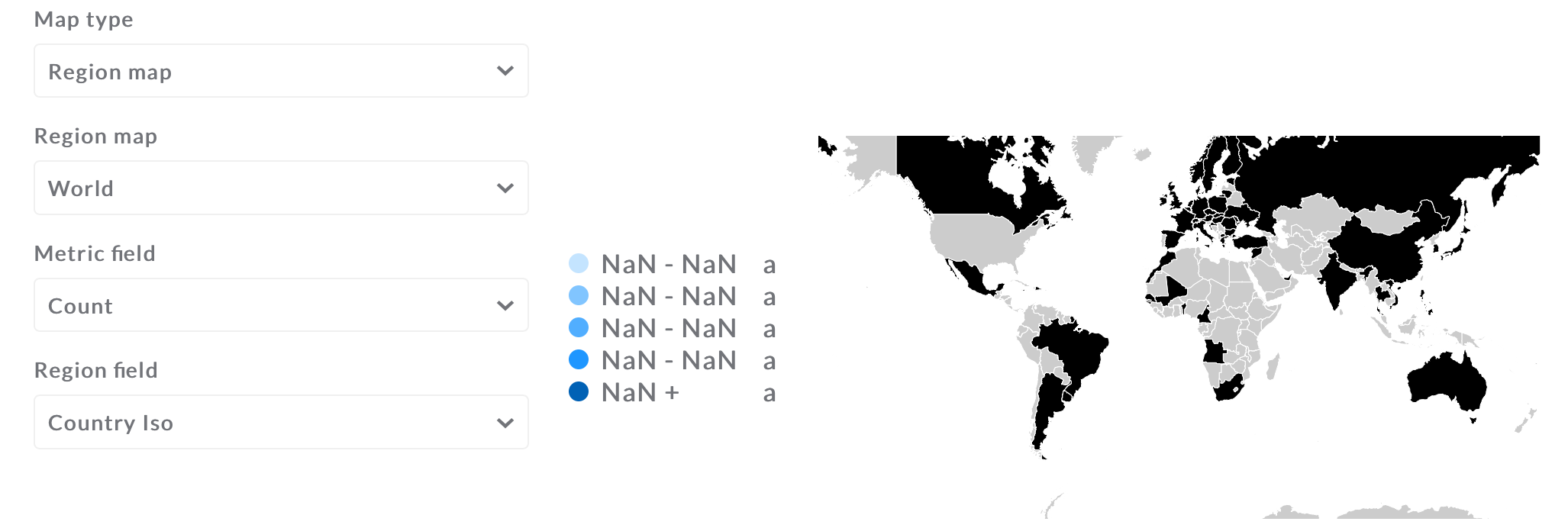
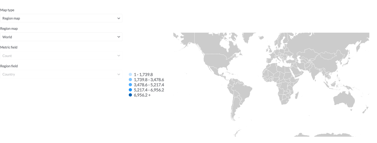
I'm more interested in the world map, not limited to the US, but in my experiments the map seems incorrect. My "Country Iso" field is a string and some countries appear to be missing. Which format should be used here? Also, the "Count" field also seems to be badly interpreted (NaN?).
You can go to the “Data model” page in the admin to set types if we haven’t auto-discovered them.
Can you share the query results + the underlying data schema definitions? It’s very difficult to try to unpack what’s going on based purely on the settings dialog information.
I’ve since been able to correctly define the types and I can obtain a map visualization. One of the problems I was having was that there were too many points, and the jvm was throwing OOM exceptions and no point was displayed.
I guess I need some kind of heatmap visualization for so many points.
We are trying to do the same with Druid where metabase does identify a column as Country but in Map visualisation not showing the distinction. It has generated 5data points (which cannot be configured in metabase)
Can you please help to check what can be wrong here? How does it map underlying country value to the map's country?Please note that Druid does not allow to store column values as geojson.
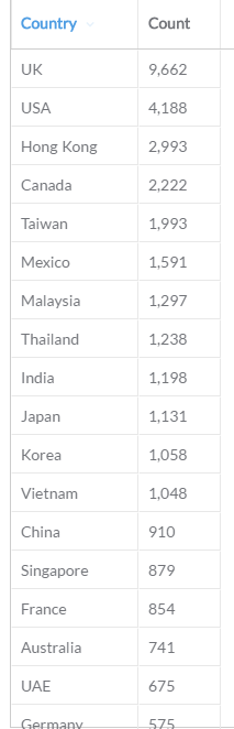
what’s the table of result values look like?
and what country codes are you using in that column? while we’ll often mark a column as “country” we don’t always know how to transform the contents of the column to the keys in the geojson file.