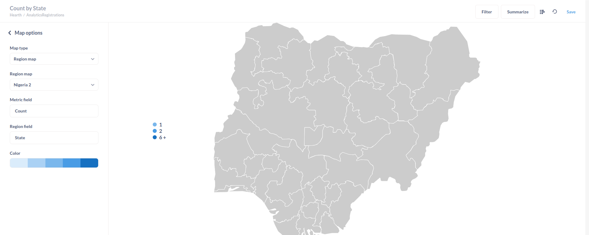
Hi, I'm taking the geojson data from here https://marcusmatthias.carto.com/tables/nigeria_geojson/public/map and trying to plot it in metabase. added this geojson to metabase, which comes with a map. but can't visualize the data in map. the name of the field I tried to use named properly 'State'. what can be the issue here?
Hi @kayumuzzaman
You need to set the region identifier when adding the map in Admin > Settings > Maps.
And then your results has to match that region identifier exactly.
https://www.metabase.com/docs/latest/configuring-metabase/custom-maps
https://www.metabase.com/learn/visualization/maps
1 Like
exactly this is what I was looking for! identifier needs to be matched.