Hi there! This is my first time on the forum as a poster - I did try to find this question on other topics but was unsuccessful.
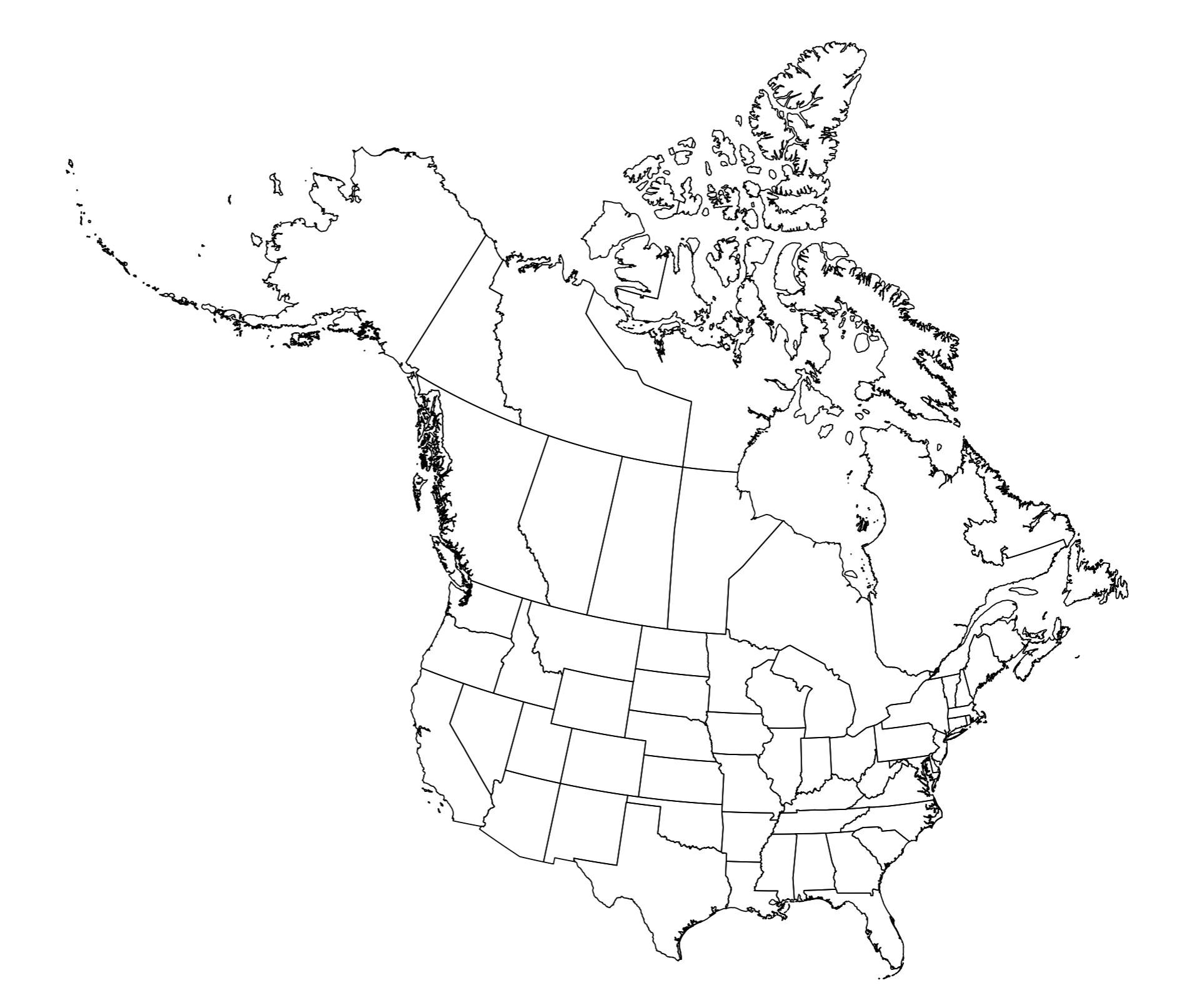
My problem is this: I would like to combine the US states map with a Canadian Provinces Map, so as to create something like this:
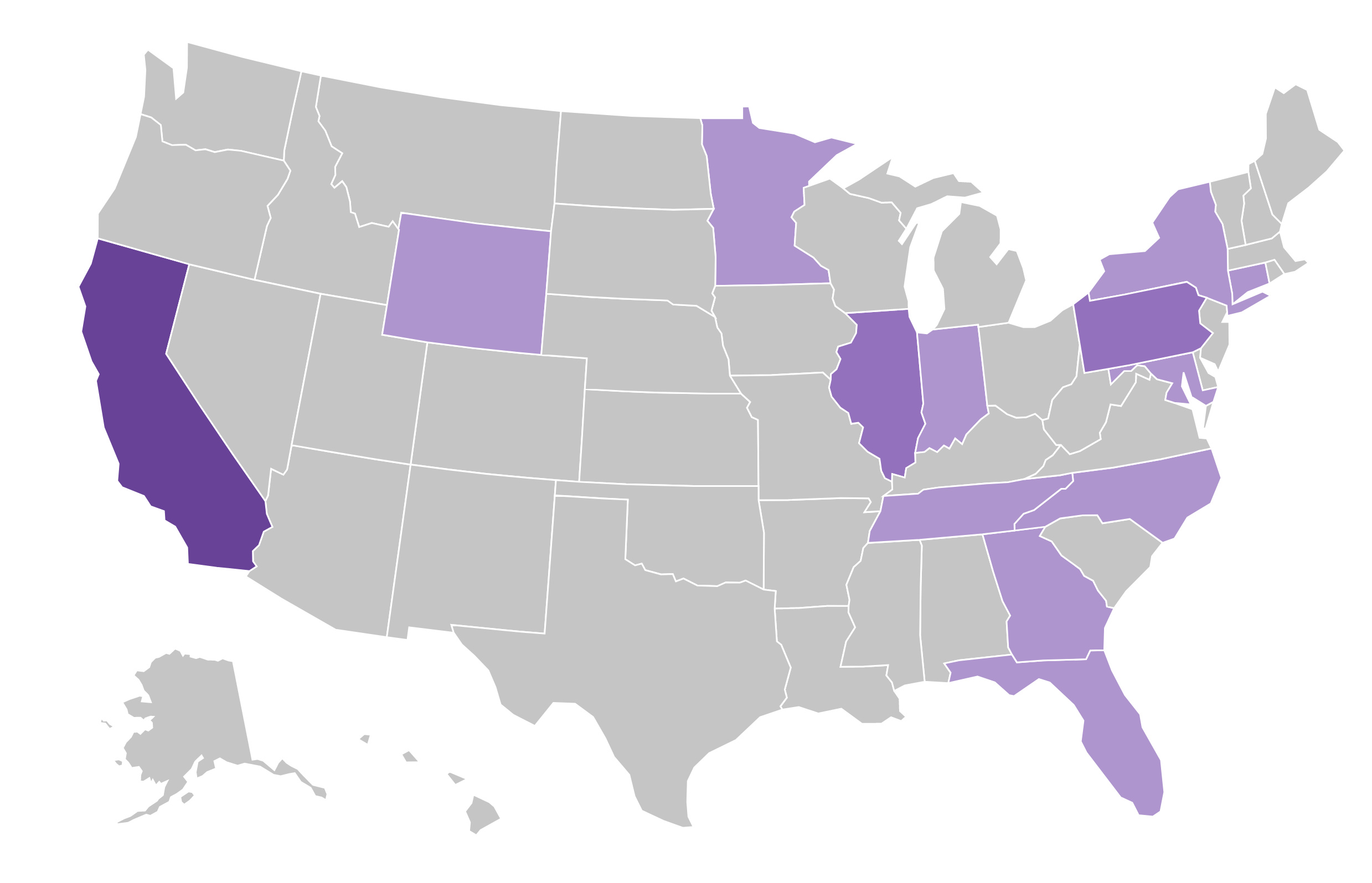
The closest I have managed to come is something more like this:

Leaving aside the difficulty of combining the two (big sigh) it seems like Metabase only likes geoJson files that are in Lat/Long projection, like the second map here. Whereas my first map is a Lambert Conformal Conic projection, and so converts the latitude and longitude into northing and easting.
What's confusing me is that the default Metabase US map does not appear to be projected in lat/long, as the map curves like this:
How do I load a custom map that uses a northing/easting, or at least curves in the way this US one does? Am I missing something obvious?
 on the first post