I'm using Mapbox tile server as
https://api.mapbox.com/styles/v1/mapbox/satellite-streets-v11/tiles/{z}/{x}/{y}?access_token=MY_TOKEN
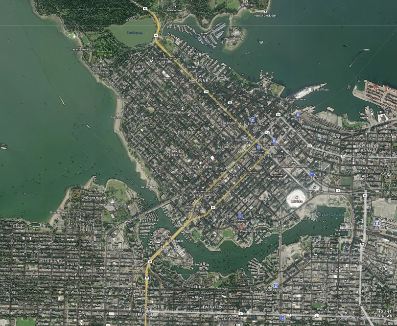
The problem is that the street and city names are shown really small, and they are very hard to read (as in the image above).
But when I use the the map provided in the Mapbox website, the writings are in the correct size.
One thing I noticed is that in Metabase (using the above tile server) at the bottom-right of screen it says "Leaflet", but in the Mapbox website (the above link) it says OpenStreetMaps.
Is this the cause of the difference? Does anyone know what Tile Server URL should be used for Mapbox so we get the same result for text sizes as shown in their website?