Hi,
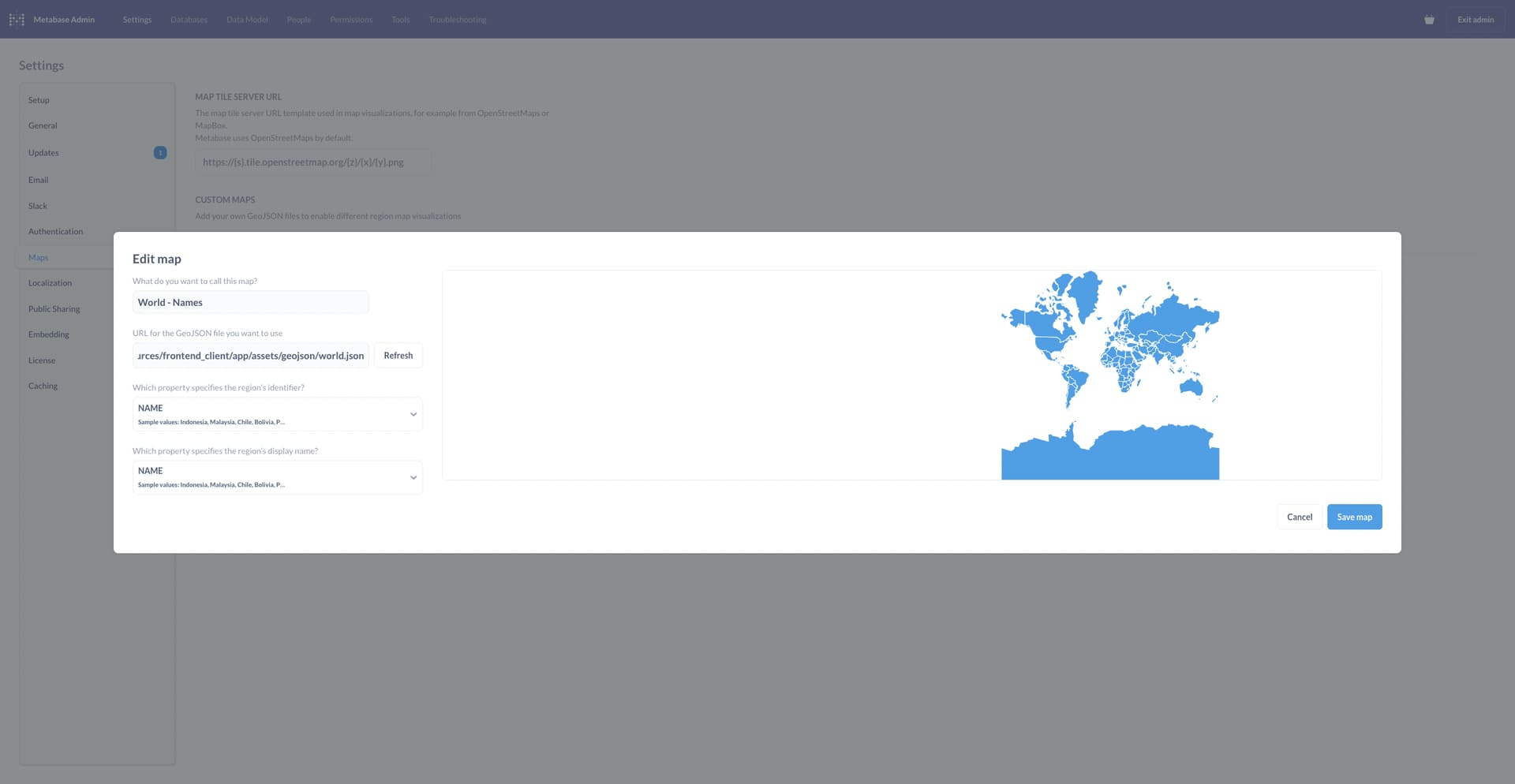
I want to use country names instead of ISO A2 for ease of use. Therefore I have added the world.json map from the Metabse github in the "Edit map" section and selected "Name" instead of ISO (something that, in my opinion, Metabase should already ship with. I mean the data is there why not use, but I am getting sidetracked.)
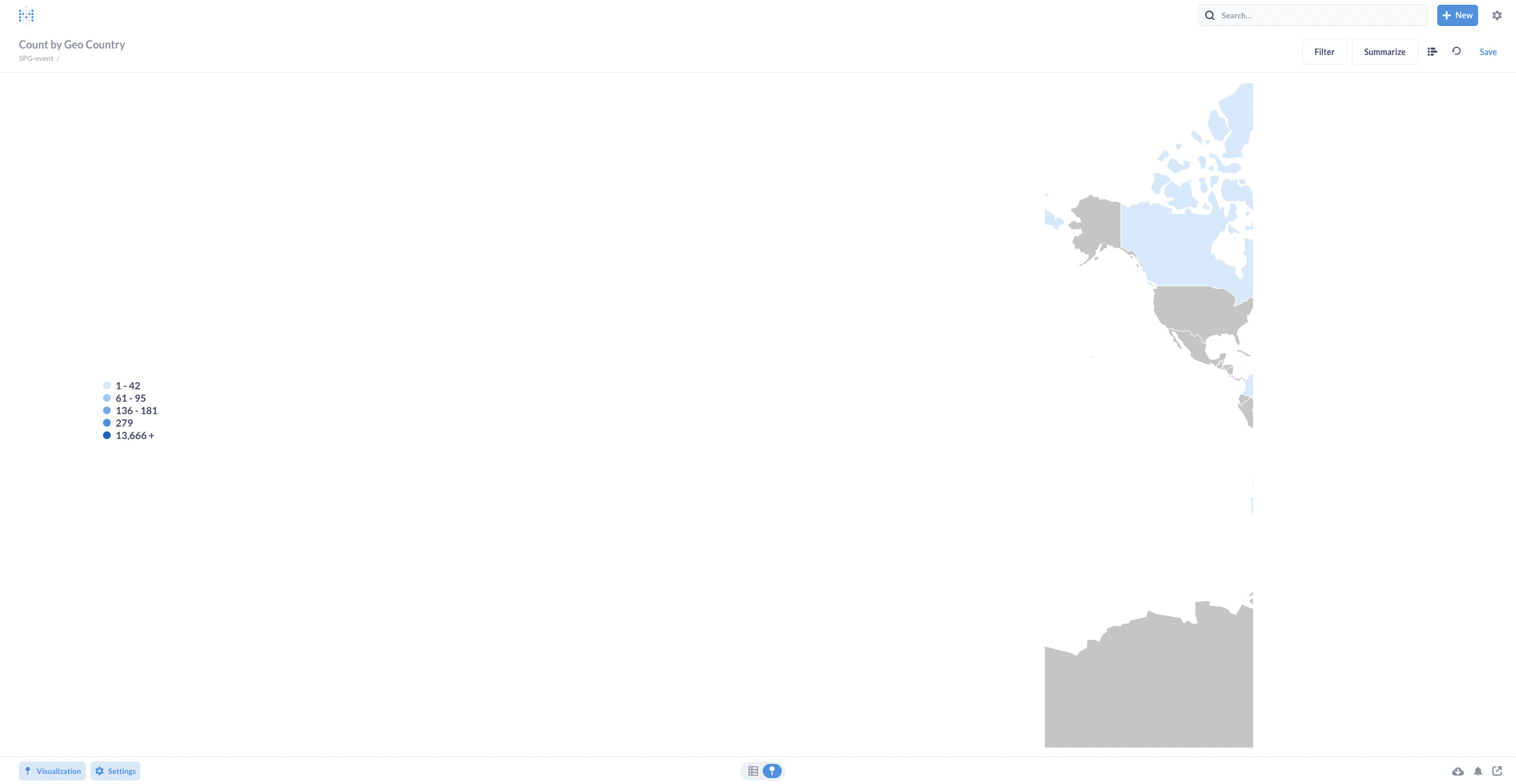
As you can see below the map gets displayed. However it is very far on the right hand side.
When I am trying to use this file only the westernmost part of the map is visual.
How can I fix that? The json file is obviously working fine.
Thanks